You know Wellesley is right for you. The question is which neighborhood will feel like home. With several distinct village centers, three commuter rail stops, and a mix of historic streets and newer infill, the best fit depends on how you live day to day. In this guide, you’ll compare walkability, commute options, school proximity, and budget signals across Wellesley’s core areas so you can focus your search with confidence. Let’s dive in.
How Wellesley is organized
Wellesley is built around village centers connected by Washington Street and Route 9, with single-family neighborhoods branching off nearby side streets. The town’s planning study outlines key shopping areas in Wellesley Square, Linden Square, Wellesley Hills, and Lower Falls, plus smaller commercial pockets on State and Cedar Streets. You’ll feel real differences in pace, parking, and street life from one pocket to the next. The town’s parking and village overview is a helpful frame.
Transit shapes lifestyle, too. Three MBTA Framingham/Worcester Line stations (Wellesley Square, Wellesley Hills, Wellesley Farms) concentrate walkable housing and daily foot traffic near the platforms, while estate-like pockets rely more on car access to Route 9 and I‑95/128.
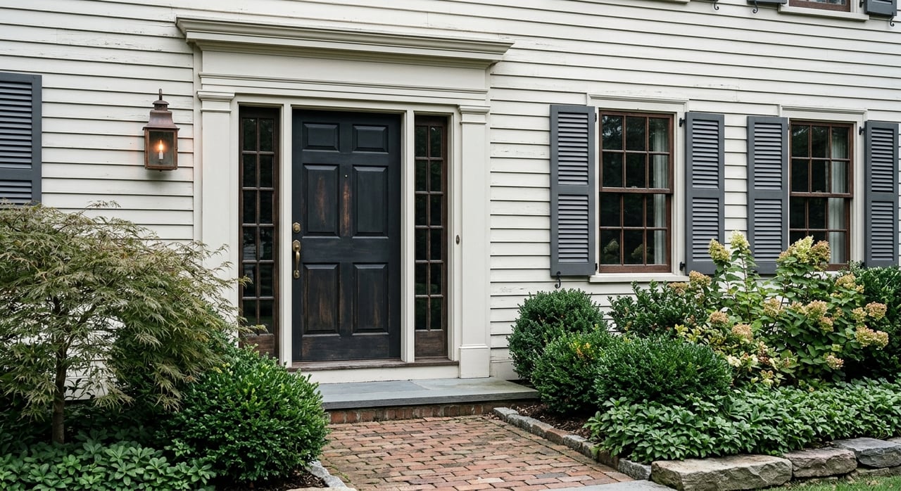
Historic areas add another layer. Town open-space and historic inventories highlight larger-lot, architecturally significant streets, including parts of Wellesley Farms and the Hunnewell/Belvedere area. These areas often command higher prices and a quieter residential feel. You can preview these designations in the Wellesley Open Space & Recreation Plan.
Neighborhood snapshots
Wellesley Square
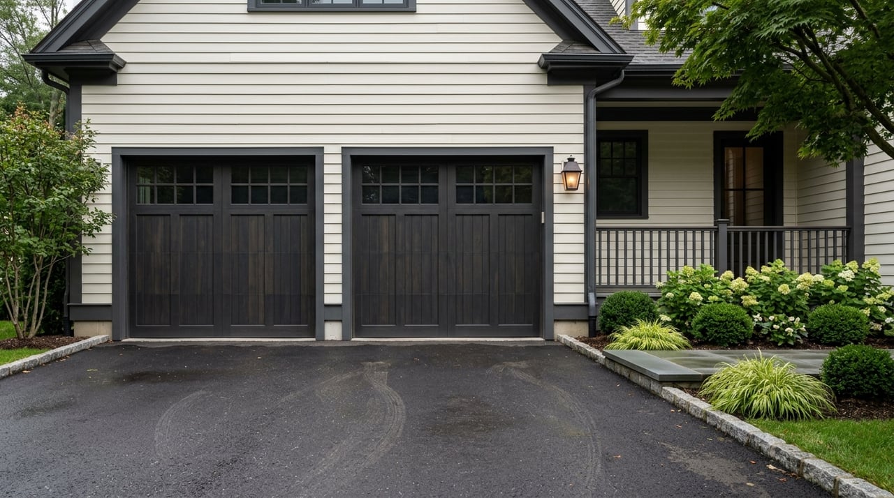
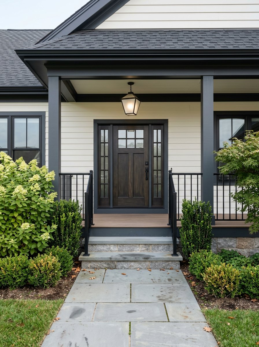
- Housing and feel: The town’s most active shopping and dining district with the library and Town Hall nearby. You’ll find small condos and townhomes close to the Square, with traditional single-family homes on surrounding streets.
- Walkability: Central addresses often score high for errands and coffee runs. Check block-level scores using Walk Score’s Wellesley map.
- Schools: Hunnewell Elementary is located in or near the Square. Always confirm your exact assignment with Wellesley Public Schools. You can view the school’s page on the WPS site.
- Commute and parking: The Wellesley Square station offers a roughly 40-minute ride to Boston depending on the train. Public parking supply is strongest here, including the Tailby lot. Proximity within a quarter to half mile of the station is a plus if you plan to walk.
- Buyer fit: Ideal if you want daily walkability to shops, restaurants, the library, and Wellesley College. Condo and townhouse options make low-maintenance living easier.
Linden Square and the Route 9 corridor
- Housing and feel: Linden Square is a modern mixed-use center anchored by Roche Bros, with dining and retail. Streets right along Route 9 feel more car-oriented and connected to regional traffic and office parks.
- Walkability and schools: Convenient foot access from nearby blocks; beyond that, most errands shift to short drives. School assignment varies by address.
- Commute and access: Quick driving access along Route 9 and to I‑95/128. Expect heavier peak-hour traffic.
- Buyer fit: Good if you want newer townhomes or infill near everyday shopping and prefer easy highway access over a village-walk lifestyle.
Wellesley Hills
- Housing and feel: A traditional village spine along Washington Street with neighborhood-scale shops and professional services. Surrounding streets offer older single-family homes and some mixed-use buildings.
- Walkability and trails: The compact core pairs well with pedestrian paths like Fuller Brook and the Crosstown Trail, which expand walk and bike options.
- Commute and parking: Served by the Wellesley Hills station. Train times to Boston are similar to the Square. Parking is more limited than at the Tailby lot, so confirm permit options if you plan to drive and park daily.
- Buyer fit: Attractive if you want a village feel and convenient rail access with a bit less bustle than downtown.
Wellesley Farms
- Housing and feel: One of Wellesley’s most historic, estate-like areas, with larger lots and Shingle, Colonial, and Tudor homes along tree-lined streets. The neighborhood’s station area is part of local historic listings and has a small green.
- Walkability and shops: Day-to-day errands are mostly by car. Streets feel calm and residential.
- Schools: Many addresses are near schools, but verify exact assignment with the district.
- Commute and parking: Served by the Wellesley Farms commuter rail. For schedule details and station context, see MassByTrain’s Wellesley Farms page. Some residents opt to park at lots near the Square or Hills when needed.
- Buyer fit: A leading choice if you value space, privacy, and architectural character. Larger lots and historic charm often place pricing at the upper end of the Wellesley market.
Lower Falls
- Housing and feel: A smaller-scale village along the Charles River at the Newton line, with older cottages, modest homes, and some newer infill. The setting has a river-oriented feel.
- Trails and outdoor access: Enjoy riverside paths and segments of the Charles River Link Trail for biking and walking.
- Commute and access: Quick access to Route 9 and I‑95/128. Many errands and commutes are by car, with Wellesley Farms station nearby by bike or a short drive.
- Buyer fit: Appeals if you want a quieter pocket with scenic river access and smaller-scale streets.
Other pockets worth a look
- State Street and Whole Foods area: Supports frequent grocery trips and small-shop errands.
- Office park corridors off Route 9: Proximity to employment centers influences traffic and can be convenient if you drive for work.
For a deeper look at village patterns, parking dynamics, and station areas, refer to the Town of Wellesley parking and village study.
Commute and parking at a glance
- Rail access: Wellesley Square, Wellesley Hills, and Wellesley Farms sit on the Framingham/Worcester Line. Typical rides to central Boston are around 40 minutes depending on train. Confirm current timetables before you buy.
- Parking realities: The Tailby lot near Wellesley Square has the largest supply of public spaces. Lot availability and permits vary by station and can change. Review the latest details in the town’s parking study and with the town’s parking office.
Schools and boundaries: what to verify
Wellesley has multiple elementary schools, with assignments based on your street address. Some schools, such as Hunnewell, are located in or near village centers like Wellesley Square. Because boundaries and programs can evolve, always confirm your student’s exact assignment and transportation options with Wellesley Public Schools. You can start with the district’s Hunnewell page and then contact the district for boundary confirmation.
Budget signals and market context
Neighborhood prices vary widely. Village-adjacent condos and townhomes may offer lower-maintenance options at a range of price points, while larger-lot, historic pockets like Wellesley Farms often trade at the higher end. Recent market trackers have shown a townwide median around the low one millions, with many single-family sales in the one-and-a-half to three million range or higher. Neighborhood medians can be higher in estate areas. Always review up-to-the-minute MLS comps and street-level data when you are ready to offer.
A quick way to narrow your search
Pick two priorities. Start with your daily commute mode and desired walkability. If you plan to ride the train most days, focus first on homes within a quarter to half mile of Wellesley Square, Hills, or Farms stations. If you prefer more space and privacy, explore larger-lot areas like Wellesley Farms and historic pockets nearby.
Map anchors. Plot your likely school, station, favorite grocer, and coffee spot, then sketch a 0.25 to 0.5 mile walking radius around each. For a first pass on walkable errands, check Walk Score’s map at the block level.
Stress test your commute. Drive your morning route at your usual departure time and time your return. If you plan to park and ride, check station lots for capacity, permit rules, and walking routes to the platform.
What to look for on an in-person tour
- Walk time to coffee, grocer, and the nearest village center.
- Sidewalks, lighting, and trail connections, especially to Fuller Brook and Crosstown Trail segments.
- Train platform access, parking availability, and permit requirements.
- Lot size, usable yard, and any visible conservation or historic features.
- Drive-time to Route 9 and I‑95/128 at peak hours.
- For schools, confirm current boundaries and transportation options directly with WPS.
Next steps
Choosing the right Wellesley neighborhood is about matching your daily rhythm to the village pattern that fits you best. When you are ready, we can help you compare micro-markets, verify school assignments, assess commute trade-offs, and target the streets that align with your goals. Connect with the Donahue Maley & Burns Team for tailored guidance and a streamlined path to your Wellesley home.
FAQs
Which Wellesley neighborhoods are most walkable for errands?
- Wellesley Square and Linden Square are the most walkable cores, with shops, dining, and services clustered together; you can cross-check block-level walkability using Walk Score’s Wellesley map.
How long is the commuter rail ride to Boston from Wellesley?
- Typical rides on the Framingham/Worcester Line from Wellesley Square, Hills, or Farms are around 40 minutes depending on the train; review current schedules and parking details in the town’s parking study.
How do I confirm my child’s elementary school assignment in Wellesley?
- Assignments are address-based and can change; start with the district’s Hunnewell page for context and contact WPS directly to confirm your exact boundary and transportation options.
Where do commuters usually park for the train in Wellesley?
- The Tailby lot near Wellesley Square offers the largest supply of public spaces, while Wellesley Hills and Wellesley Farms have more limited parking; permit programs and capacity can change, so verify with the town’s resources in the parking study.
Are there historic or conservation considerations when buying in Wellesley?
- Yes. Town inventories note historic and larger-lot areas in places like Wellesley Farms and Hunnewell/Belvedere; review context in the Open Space & Recreation Plan and confirm any property-specific restrictions during due diligence.